| Content from Wikipedia under the CC BY-SA 4.0 license ⇔ Maps from OpenStreetMap under the ODbL license |
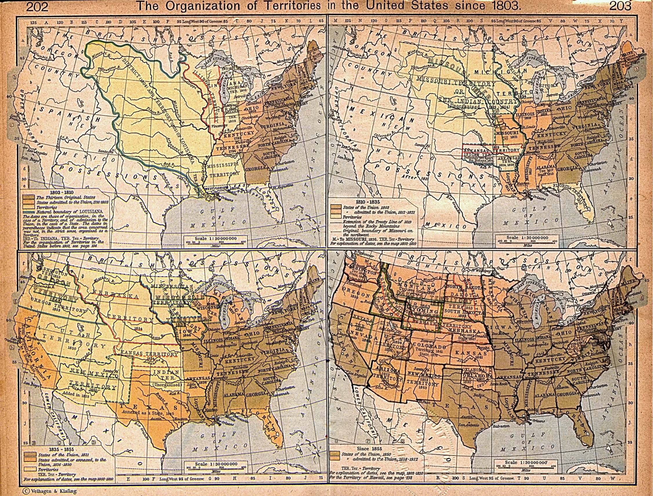
File:East and West Florida 1810-es.svg
From Hispanopedia
Original file (SVG file, nominally 731 × 505 pixels, file size: 872 KB)
Summary
| Description |
English: Mapa de Florida Oriental y Florida Occidental en 1810, de la Collección Perry-Castañeda de Mapas[1]. La frontera entre las dos provincias era el río Apalachicola. |
| Source |
This file was derived from: East and West Florida 1810.jpg
|
| Author | William Robert Shepherd |
Licensing


This file is licensed under the Creative Commons Attribution-Share Alike 4.0 International license.
- You are free:
- to share – to copy, distribute and transmit the work
- to remix – to adapt the work
- Under the following conditions:
- attribution – You must give appropriate credit, provide a link to the license, and indicate if changes were made. You may do so in any reasonable manner, but not in any way that suggests the licensor endorses you or your use.
- share alike – If you remix, transform, or build upon the material, you must distribute your contributions under the same or compatible license as the original.
File history
Click on a date/time to view the file as it appeared at that time.
| Date/Time | Thumbnail | Dimensions | User | Comment | |
|---|---|---|---|---|---|
| current | 10:35, 8 August 2019 | No thumbnail | 731 × 505 (872 KB) | wikimediacommons>Rowanwindwhistler | Uploading a file from a free published source using File Upload Wizard |
File usage
The following page uses this file: